GIS data science
Geospatial data science is an important branch, which fuscous on the statistical calculation of data for accessibility, operation, inspection, and conceptualization. Terraalign cover all the data science parts for better results


GIS data science
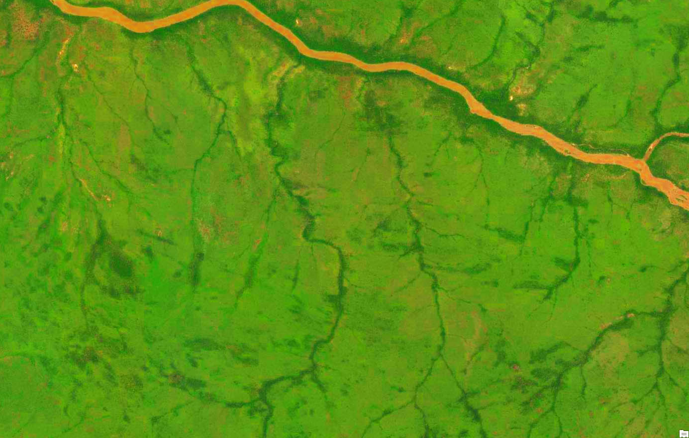
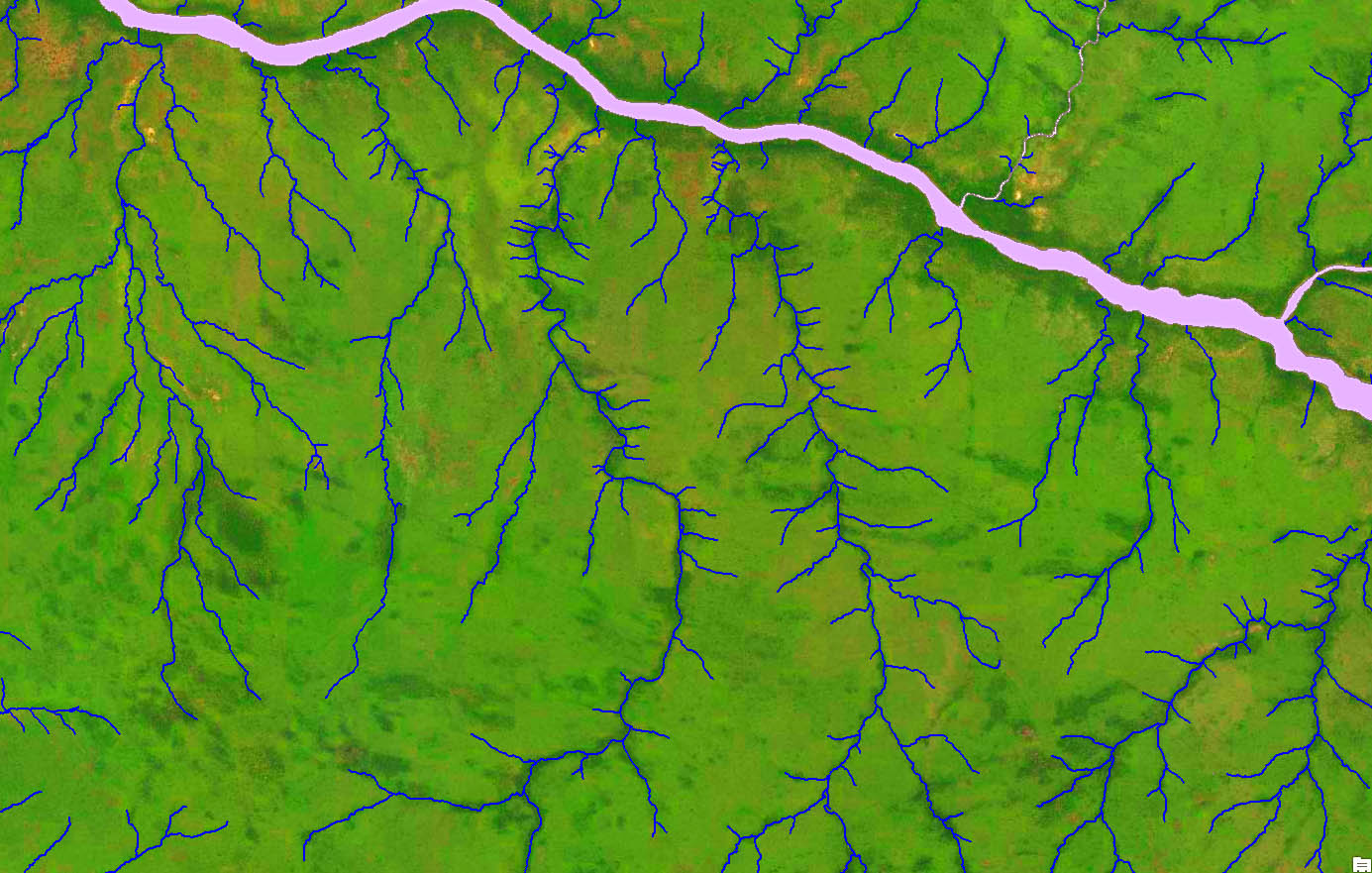
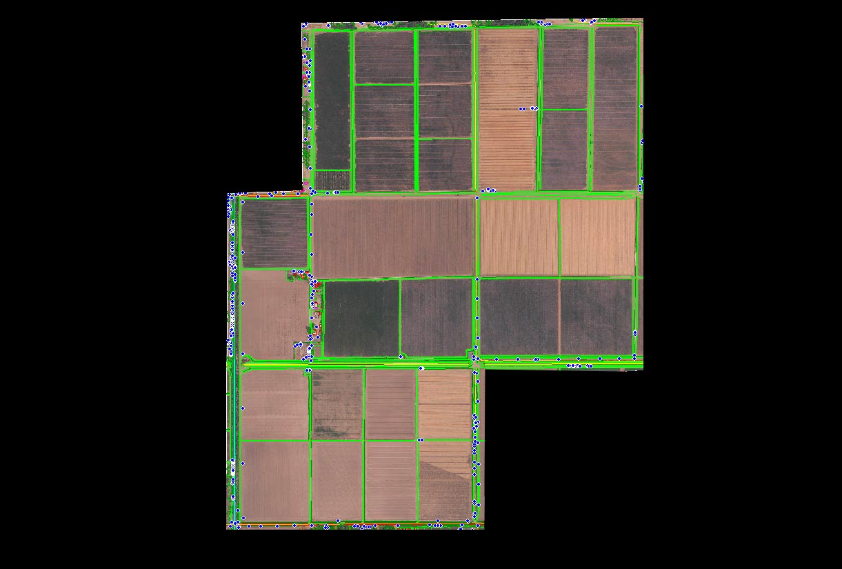
GIS data conversion is a process that encrypts the data from a geographical format into a file. Accordingly, GIS data conversion raster image is transformed into vector data, broadly used in mapping and utility services. It is commonly used in road and rail networks, oil and gas pipelines, telecom, parcel and tax mapping, mining, tunnel, etc. to reform raw data into a digital GIS format.
With this technology, we prepare data for assisted mass appraisal systems, utility mapping, contour mapping, map data recreation, raster editing, topographic mapping, geo-coding, and digitization services.
Terraalign Services
In the following services, we use the best technology to provide detailed, accurate, and in-time coverage solutions for the best results for your projects.
- Land Information System
- Tax parcels
- Telecom and Network services
- Power line network
- Road Network
- Rail Network
- Pipe Line network management
- Traffic density studies
- Road Network Maintenance
- Power Line vegetation management
- Rail Network and Signal Maintenance
- Aerial Georeferencing
- Historical Image Georeferencing
- Raster data to vector data conversion
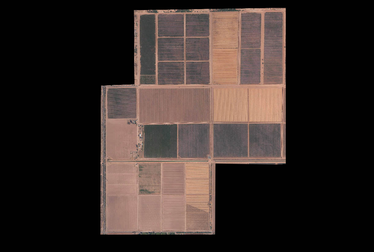
- Agricultural Applications
- Forest management
- Fishery Management
- Deletion of coal mines fire
- Urban Planning
- Infrastructure development


