Airborne LiDAR
Airborne Lidar produces the most precise density elevation data and maps of many sectors quickly and exactly. With Terraalign it will be more efficient and accurate.


Airborne LiDAR
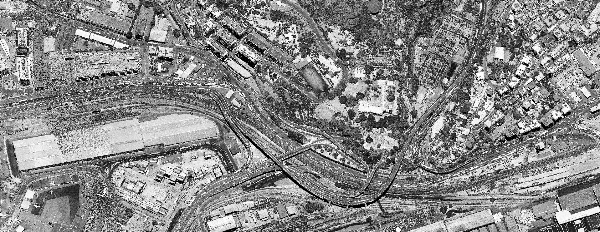
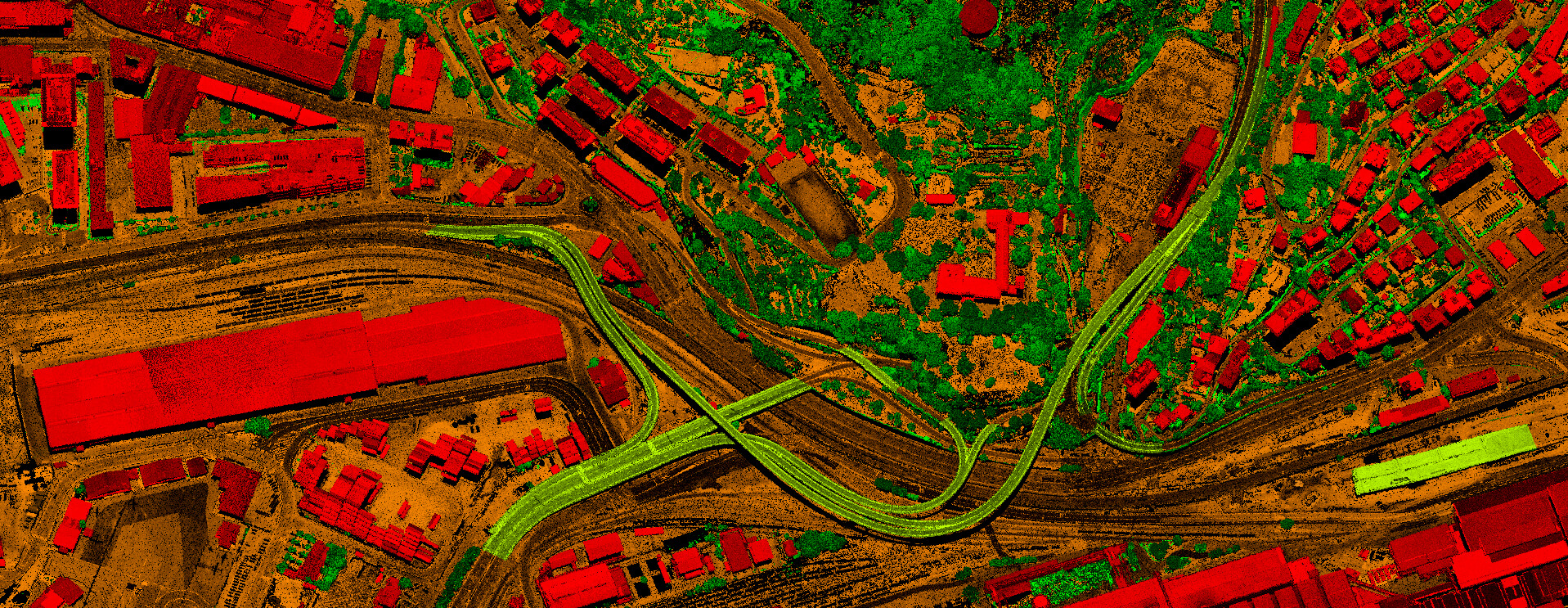
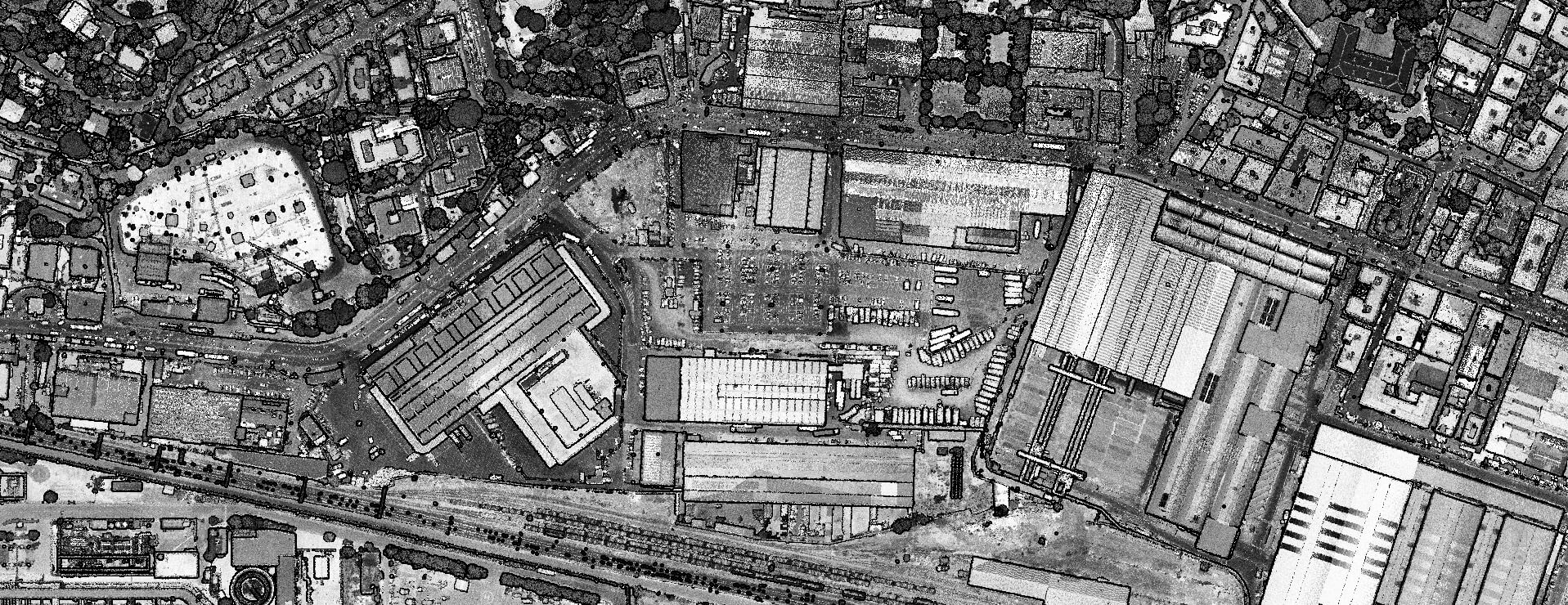
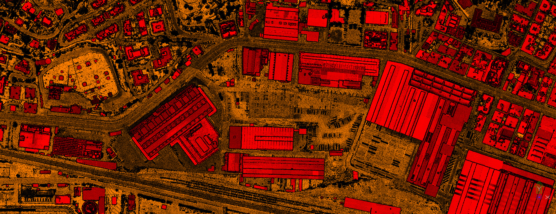
Airborne lidar is when a laser scanner, while attached to an aircraft during flight, creates a 3-D point cloud model of the landscape. This is currently the most detailed and accurate method of creating DEM and DSM, replacing photogrammetry technology.
Over the past two decades, LiDAR data have been widely used for classification and Mapping services.
LiDAR point cloud classification of airborne LiDAR data, multi-class labeling has become familiar for city modeling, land change detection, map updating, vegetation management and etc.
Terraalign Services
In the following services, we use the best technology to provide detailed, accurate, and in-time coverage solutions for the best results for your projects.


