Mapping With UAV
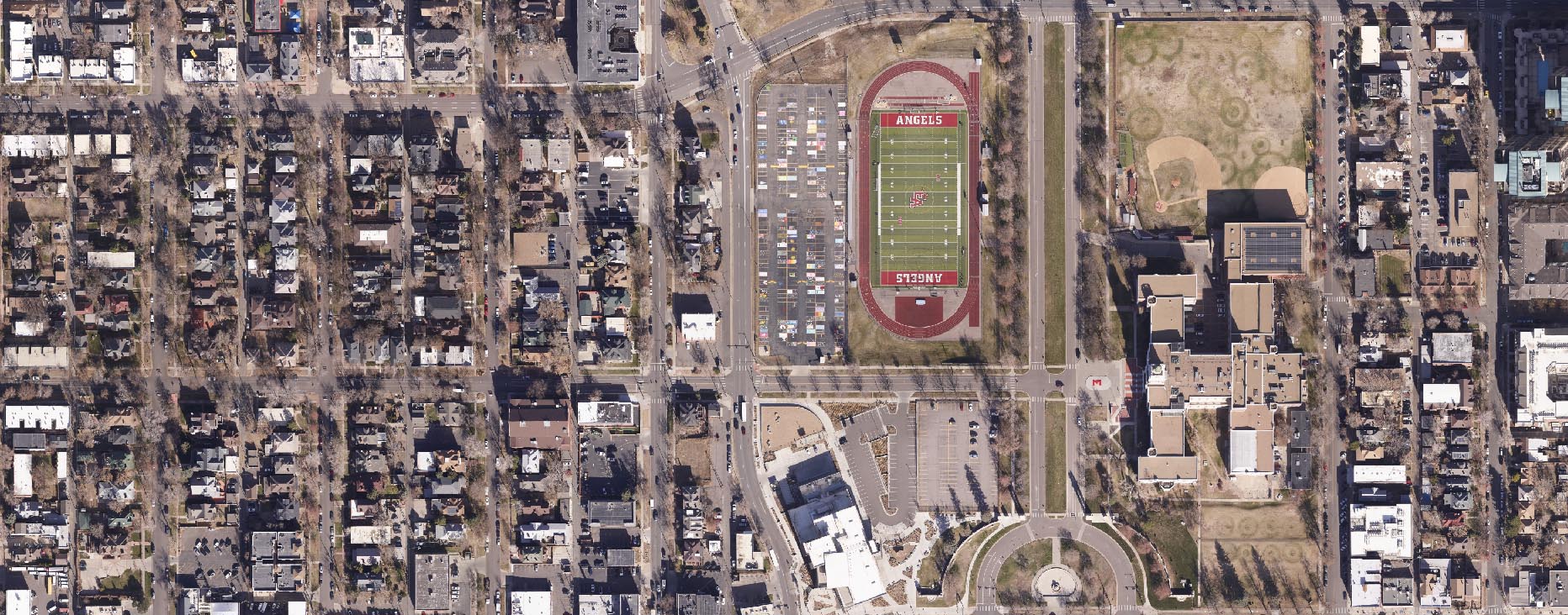
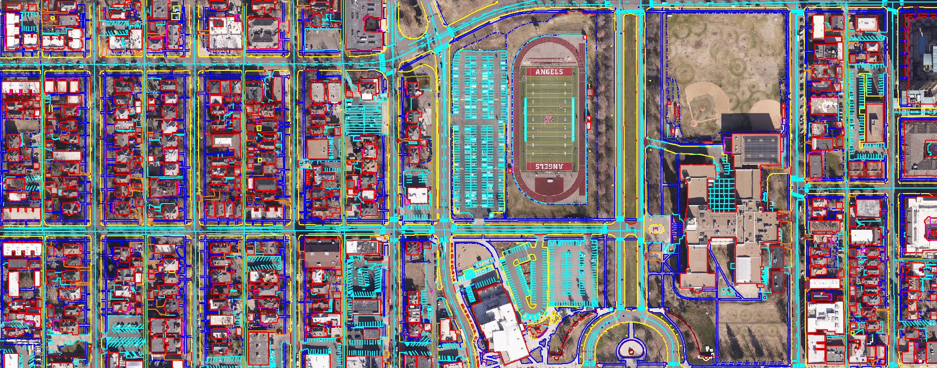
UAV image process produces high-scale maps and high-resolution orthophoto for small areas quickly and exactly. Terraalign’s cut-edge perfection results give your projects better solutions


Mapping With UAV
The UAV data processing is a unit that covers a small area with increasing efficiency, and moderate function. These data not only provide clarity but also present temporal, dynamics, narrow points of view, or time-critical events.
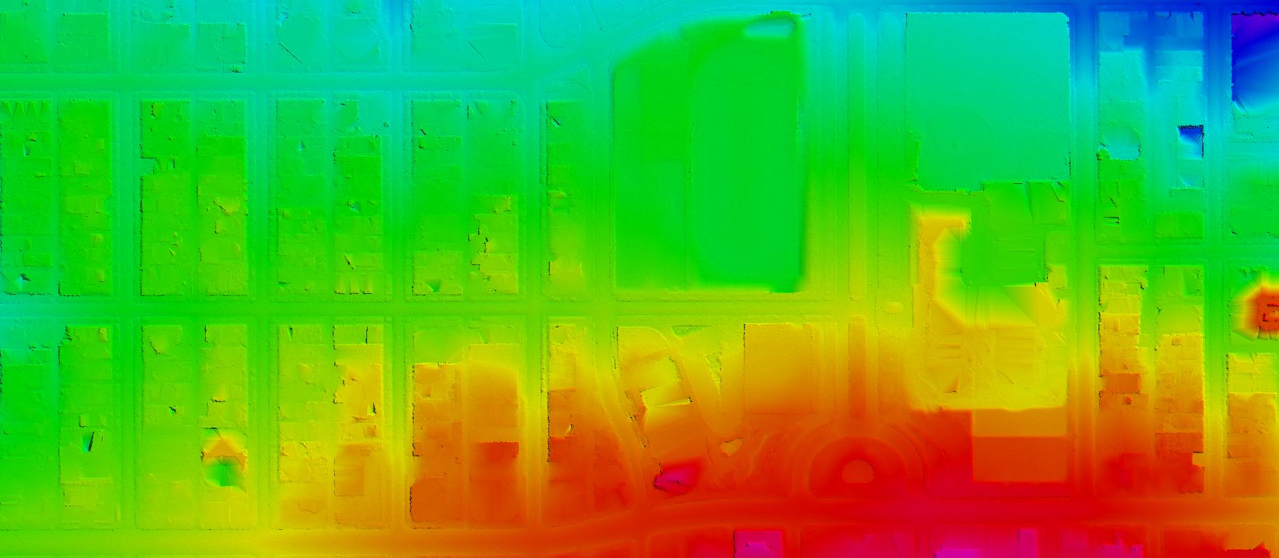
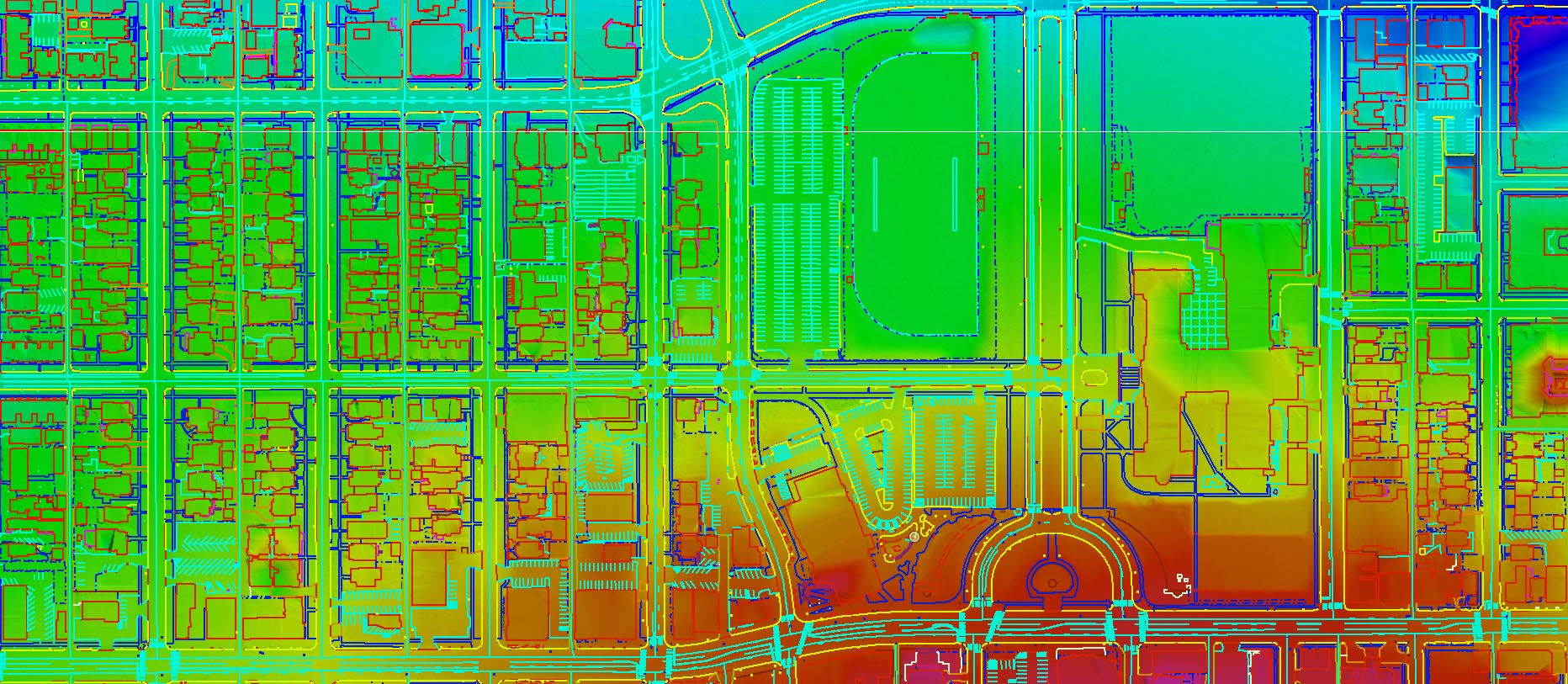
Nowadays the uses of UAV and its data processing are widespread and multi-function operational for several sectors in different ways for instance for DEM production, mineral and mining monitoring, archaeological sites surveys, forest management, 3D modeling, land cover mapping, digital terrain modeling (DTM), supervising and change detection, digital urban planning, orthorectification services and many more.
Terraalign Services
In the following services, we use the best technology to provide detailed, accurate, and in-time coverage solutions for the best results for your projects.


