Orthophoto And True Orthophoto
Orthophoto is given geometrically accurate data which is perfect as an edge-to-edge. Terralign maintains the same end-edge perfection in its solutions.


Orthophoto And True Orthophoto
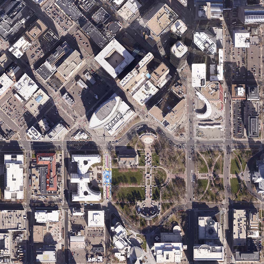
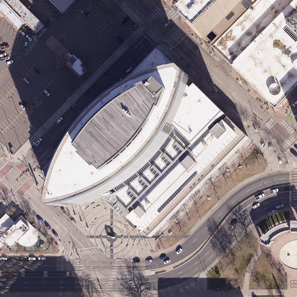
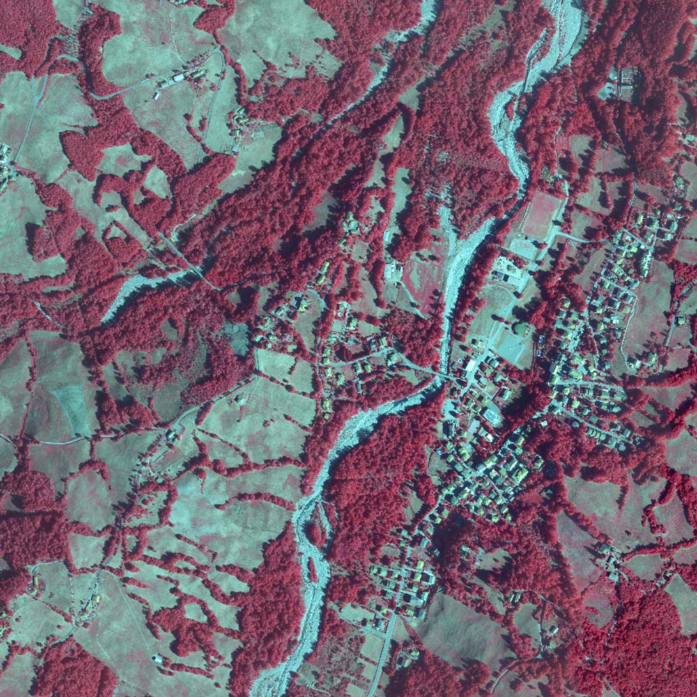
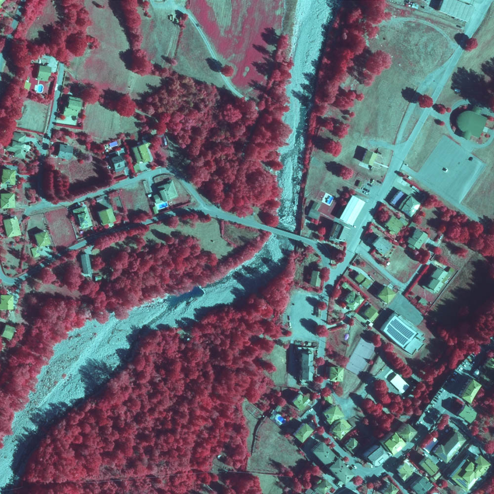
An orthophoto is an aerial image that has been geometrically corrected such that the scale is uniform, lens distortion, and camera tilt. An Orthophotomap is a raster image made by merging single ortho images is called orthomosaic. A digital orthophoto maps can be used to measure true distances Because It Is an accurate representation of the earth’s surface.
The Term True Orthophoto Is Generally Used For A Orthophoto Where the Artificial Surface Buildings And Bridges Are Included In The Digital Terrain Model Are Also Rectified in a true orthophoto.
Terraalign Service
In the following services, we use the best technology to provide detailed, accurate, and in-time coverage solutions for the best results for your projects.


